Dudh Kunda Trek Day To Day Detail Map
Digital Interactive Map with Heart Rate, Altitude and Speed Data
In the previous post I’ve told you why the Dudh Kunda Trek is the best short trek for Mt. Everest View.
Today I’m sharing my personal data to help you better plan for this trek.
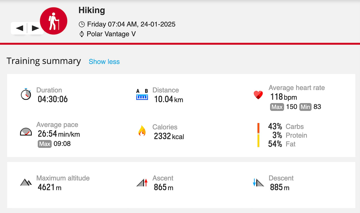
The data includes How much we walked at What speed for How long and at What altitude for everyday.
Day 1: Kathmandu to Phaplu to Taksindu La
On this day we’ll be traveling on vehicle to reach the destination.
So the maximum altitude is 3,100m at Taksindu La.
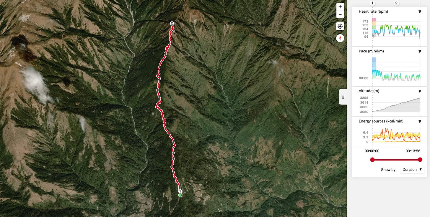
Day 2: Taksindu La to Kamu Dada
Morning hike to Taksindu Monastery after breakfast.
Click Here if you want to explore this (Taksindu Monastery Hike) map and data by yourself.
After lunch at Taksindu La, trek to Kamu Dada, Everest View Point Hotel.
Click Here if you want to explore this (Taksindu La to Kamu Dada) map and data by yourself.
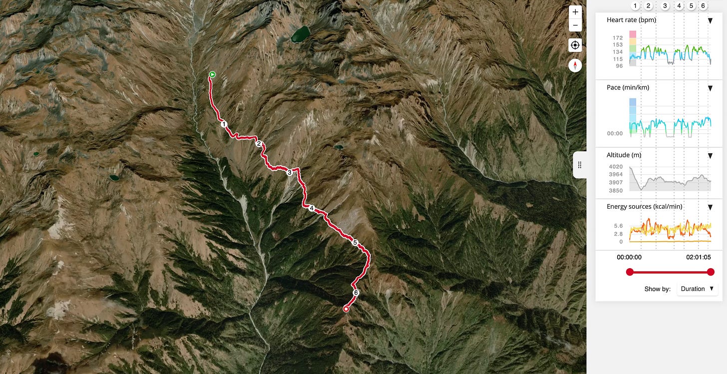
Day 3: Kamu Dada to Sano Beni via Aakhey Pokhari
After a heavy breakfast trek to Sano Beni, Dudh Kunda Inn, via alternative route which takes to several Glacial Lakes like Aakhey Pokhari.
Pack lunch with the Lake and Mountain View.
Click Here if you want to explore this (Kamu Dada to Sano Beni) map and data by yourself.
Day 4: Sano Beni to Dudh Kunda to Taksindu
Early in the morning after having a good breakfast, hike to Dudh Kunda Lake and return to hotel for lunch.
Click Here if you want to explore this (Sano Beni to Dudh Kunda Lake) map and data by yourself.
After lunch hike to Kamu Dada.
Click Here if you want to explore this (Sano Beni to Kamu Dada) map and data by yourself.
If possible continue trekking to Taksindu La.
Click Here if you want to explore this (Kamu Dada to Taksindu La) map and data by yourself.
Day 5: Explore Sherpa Villages at Phaplu, Garikhasa
This is the end of the Dudh Kunda Trek, so it’s the day to celebrate and relax.
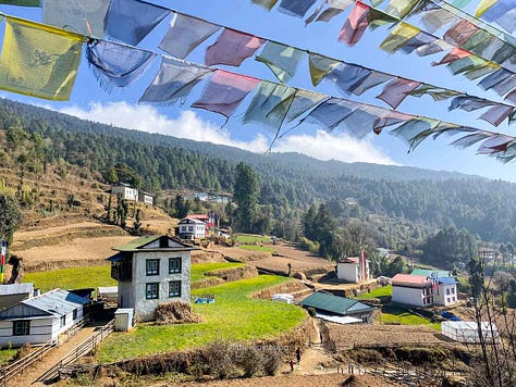
Take it slow and explore the authentic Sherpa villages like Garikhasa, Chunakpu, Bagam, Salleri and Phaplu.
Read the full article “Dudh Kunda Trek 2025“.


